


Wind-chill advisory in effect; snow forecast for Presidents' Day
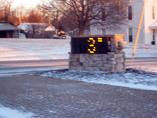
A wind-chill advisory remains in effect until 1 p.m. Sunday and snow is in the forecast for Presidents Day, the National Weather Service said. In addition, a Winter Storm Watch has been posted for Monday.
With a morning temperature of 4 degrees and a daytime high expected to be around 10, the wind-chill values could reach -15 today.
Sunday night's low will be around 0, with similar wind-chill values.
For Presidents' Day, snow is likely mainly after 1 p.m., the NWS said. The chance of precipitation is 70%. New snow accumulations of 2 to 4 inches are possible. Snow is expected to continue Monday night, with accumulations of 1 to 3 inches possible.
[[In-content Ad]]
Forecast
Tuesday – A slight chance of snow after 4pm. Mostly cloudy, with a high near 26. Southwest wind 3 to 6 mph. Chance of precipitation is 20%.
Tuesday Night – A chance of snow, mainly before 10pm. Mostly cloudy, with a low around 11. Chance of precipitation is 30%. New snow accumulation of less than a half inch possible.
Wednesday – Mostly cloudy, with a high near 17.
Wednesday Night – Mostly cloudy, with a low around -1.
Thursday – Mostly sunny, with a high near 13.
Thursday Night – Partly cloudy, with a low around 2.
Friday – Partly sunny, with a high near 22.
Friday Night – A chance of snow. Mostly cloudy, with a low around 17. Chance of precipitation is 30%.
Saturday – A chance of snow. Mostly cloudy, with a high near 34. Chance of precipitation is 40%.