Cold weather advisory in effect

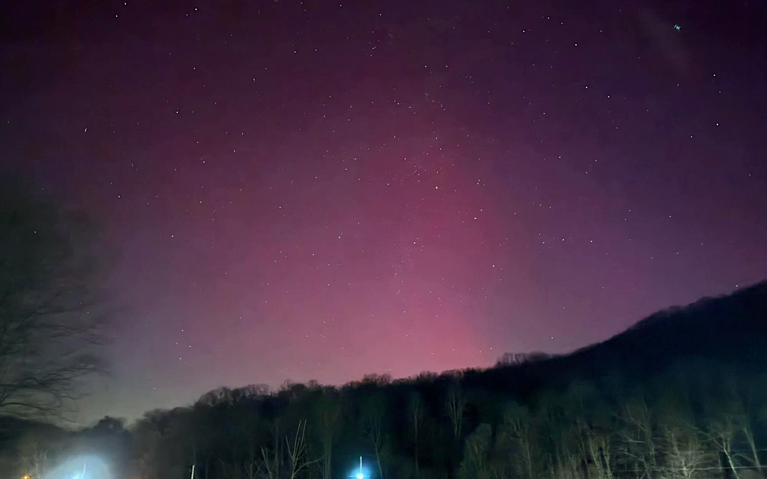
The Northern Lights (Aurora Borealis) are visible in southern Ohio this evening. (HCP photo by Pam Ryan.)
The National Weather Service has issued a cold weather advisory until 10 a.m. Tuesday, Jan. 20.
Expect very cold wind chills as low as 10 below zero for Highland and surrounding counties, as well as portions of southeast Indiana and northeast and northern Kentucky.
The cold wind chills as low as 10 below zero could result in hypothermia if precautions are not taken. Dress in layers including a hat, face mask, and gloves if you must go outside.
Forecast
• Tonight – Mostly clear, with a low around 6. Wind chill values as low as -5. West wind 6 to 10 mph.
• Tuesday – Sunny, with a high near 24. Wind chill values as low as -6. West wind 6 to 10 mph.
• Tuesday Night – Partly cloudy, with a low around 15. South wind 5 to 10 mph, with gusts as high as 20 mph.
• Wednesday – A chance of snow before 1pm, then a chance of rain and snow between 1pm and 4pm, then a chance of rain after 4pm. Mostly cloudy, with a high near 41. Breezy, with a southwest wind 14 to 21 mph, with gusts as high as 39 mph. Chance of precipitation is 40%. Little or no snow accumulation expected.
• Wednesday Night – A slight chance of rain before 1am. Mostly cloudy, with a low around 28. Chance of precipitation is 20%.
• Thursday – Mostly sunny, with a high near 35.
• Thursday Night – Mostly cloudy, with a low around 14.
• Friday – Mostly cloudy, with a high near 23.
• Friday Night – A chance of snow after 1am. Mostly cloudy, with a low around 4. Chance of precipitation is 30%.
• Saturday – A chance of snow. Mostly cloudy, with a high near 13. Chance of precipitation is 30%.
• Saturday Night – A chance of snow. Mostly cloudy, with a low around 4. Chance of precipitation is 40%.
• Sunday – A chance of snow. Partly sunny, with a high near 18. Chance of precipitation is 30%.
The photo from this evening is courtesy of Teresa Barnett.