


Winter weather advisory in effect until Saturday night
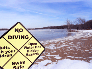
Another winter weather advisory has been posted for Highland County and southern Ohio, this one from 9 p.m. Friday, Jan. 24 until 7 p.m. Saturday, Jan. 25.
Snow is expected to develop late Friday evening and continue through the early morning hours Saturday. The National Weather Service predicts 2 to 4 inches of new snow accumulation.
Forecast
Friday night – A chance of snow before 2am, then snow likely between 2am and 3am, then snow with areas of blowing snow after 3am. Low around 15. Wind chill values as low as -1. Breezy, with a southwest wind 16 to 21 mph. Chance of precipitation is 100%. New snow accumulation of 1 to 3 inches possible.
Saturday – Snow with areas of blowing snow before 10am, then areas of blowing snow and a chance of snow between 10am and 1pm, then areas of blowing snow and a slight chance of snow after 1pm. High near 30. Breezy, with a west wind 18 to 20 mph. Chance of precipitation is 100%. New snow accumulation of around an inch possible.
Saturday Night – Partly cloudy, with a low around 5. Wind chill values as low as -5. West wind 7 to 15 mph.
Sunday – A chance of snow, mainly after 9am. Mostly cloudy, with a high near 33. South wind 8 to 18 mph. Chance of precipitation is 50%.
Sunday Night – A chance of snow, mainly before 1am. Mostly cloudy, with a low around 9. Chance of precipitation is 50%.
Monday – Partly sunny, with a high near 16.
Monday Night – Partly cloudy, with a low around -7.
Tuesday – Mostly sunny and cold, with a high near 4.
Tuesday Night – Partly cloudy, with a low around -3.
Wednesday – Mostly sunny, with a high near 16.
Wednesday Night – Partly cloudy, with a low around 3.