


Winter storm warning Feb. 14-15
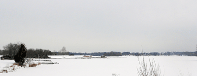
A winter storm warning is in effect from 10 a.m. Friday, Feb. 14 until 2 a.m. Saturday, Feb. 15, the National Weather Service said.
Snow is likely Friday, mainly after 4 p.m. The total daytime snow accumulation will be around one to two inches. However, some later models are predicting as much as five inches of new snow.
Snow is likely to continue Friday night with new snow accumulation of one to two inches possible.
Forecast
Saturday – Cloudy, then gradually becoming mostly sunny, with a high near 24. Wind chill values as low as -2. Northwest wind around 10 mph.
Saturday Night – Snow likely, mainly between 1am and 5am. Mostly cloudy, with a low around 20. Southwest wind around 8 mph. Chance of precipitation is 60%.
Sunday – A chance of snow, mainly before 9am. Mostly cloudy, with a high near 32. Southwest wind around 6 mph. Chance of precipitation is 30%.
Sunday Night – Mostly cloudy, with a low around 22.
Washington's Birthday – A chance of snow before 1pm, then rain likely. Mostly cloudy, with a high near 42. Chance of precipitation is 60%.
Monday Night – Rain likely. Mostly cloudy, with a low around 31. Chance of precipitation is 70%.
Tuesday – Mostly sunny, with a high near 43.
Tuesday Night – Partly cloudy, with a low around 31.
Wednesday – Mostly sunny, with a high near 52.
Wednesday Night – A chance of showers. Mostly cloudy, with a low around 41. Chance of precipitation is 30%.
Thursday – A chance of showers. Mostly cloudy, with a high near 61. Chance of precipitation is 30%.
[[In-content Ad]]